

In the financial field, accurately predicting corporate profits has always been an ideal goal for investors and analysts. With the continuous progress of science and technology, an innovative method is gradually emerging-using satellite images to predict corporate profits.
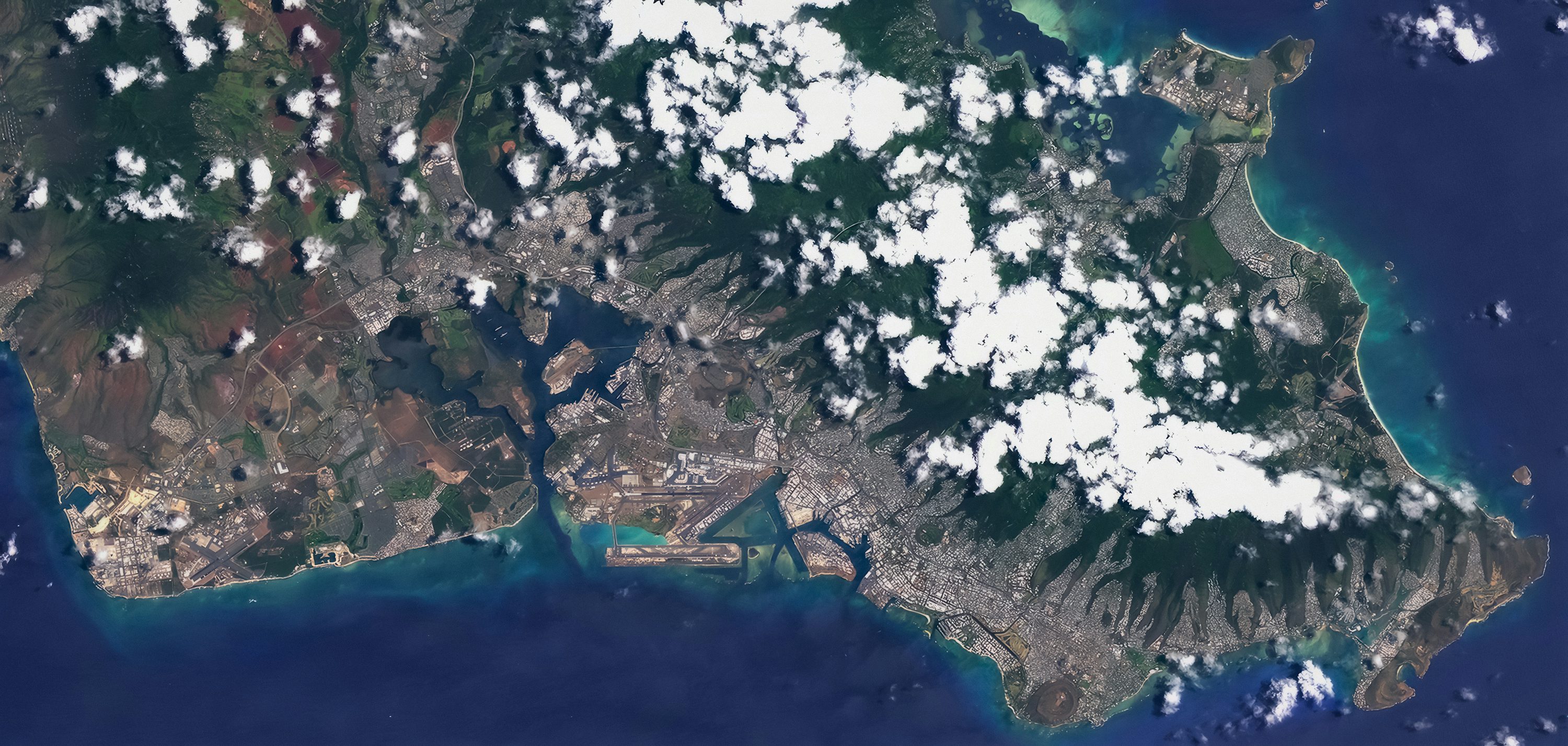
Satellite images can capture many details of enterprise operation. Taking a manufacturing enterprise as an example, we can clearly see the operation of the factory through satellite images. Information such as the start-up time of the factory, the brightness of the lights in the production area and the storage of raw materials and finished products can be recorded by satellites. If the lights of a factory are still on at night and the stacking area of raw materials is expanding, it usually means that the enterprise is increasing its productivity, probably to meet the growth of market demand, which indicates that the future profit of the enterprise is expected to increase. However, if the factory is shut down for a long time or the accumulation of raw materials is reduced, the enterprise may face operational difficulties and the profitability is not optimistic.
In the retail industry, satellite images also have their unique value. We can preliminarily judge the store's passenger flow by observing the number of vehicles in the store parking lot of the retailer. Imagine that the parking lot of a retail store is always full of cars, which reflects the high demand of consumers for this retail store, and the sales performance in the store is likely to be considerable, thus promoting the rise of corporate profits. On the contrary, the lack of parking lots may mean that the store is poorly managed and the profit prospects are bleak.
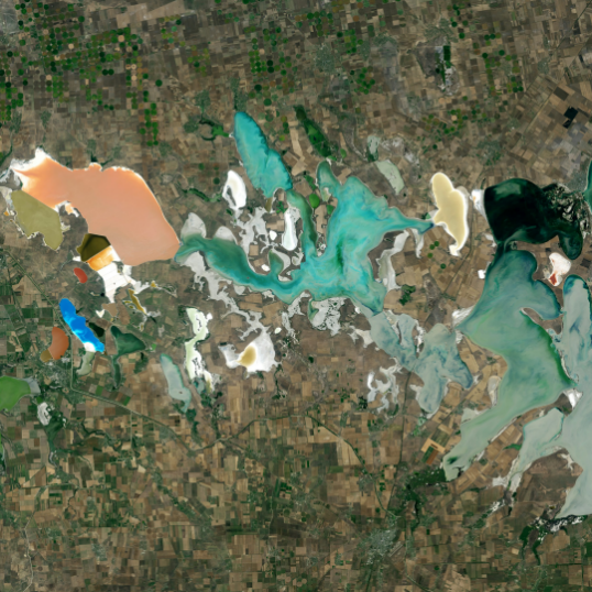
In addition, for agricultural enterprises, satellite images can monitor the growth of crops. By analyzing data such as vegetation index and soil moisture, the yield of crops can be predicted. If the crops grow well and the expected output is high, it will bring a stable supply of raw materials and potential profit growth for agricultural products processing enterprises and other related enterprises. Moreover, in the energy field, satellite images can track the changes of oil storage tanks, the installation scale of solar panels and the operation of wind farms, providing an important basis for profit prediction of energy enterprises.
However, satellite images are not everything to predict corporate profits. It needs to be combined with professional financial analysis and comprehensively consider many factors such as market environment, enterprise management and industry competition. For example, although satellite images can capture the production activities of factories, the profitability of enterprises is also affected by many factors such as cost management, product pricing, changes in market demand and so on. In addition, the acquisition and processing technology of satellite image data also has some limitations, such as weather conditions and image resolution, which may affect the accuracy and usability of the data. At the same time, how to effectively integrate satellite image data with traditional financial and market indicators is also a complex challenge.
Nevertheless, this analysis method based on actual operating data provides a new perspective for financial forecasting, which is expected to bring more accurate and reliable results for corporate profit forecasting in the future and provide more powerful decision support for financial market participants.